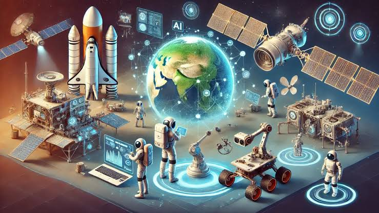

Space data has become useful far beyond scientific research and government programs. Satellite imagery and other geospatial datasets can support decisions in agriculture, infrastructure, insurance, energy, environmental management, and many other industries. However, the sheer amount of information available can make finding and interpreting the right data difficult.
Artificial intelligence can simplify this process. From locating relevant imagery to identifying changes across large areas, AI can help organizations turn complex space data into information they can actually use.
Find the Right Satellite Data Faster
One of the first challenges when working with space data is finding the right imagery. A user may know what they want to investigate without knowing the exact coordinates, satellite provider, or dataset required.
As satellite technology becomes more accessible to developers, businesses have more opportunities to incorporate space-based information into their own tools, platforms, and workflows.
AI can make the discovery process more intuitive. Instead of manually searching through large catalogs, users can describe the location or feature they are interested in and use AI-powered tools to narrow down relevant information.
For example, Geospatial AI can help make interactions with satellite data more accessible by allowing users to work from natural-language requests. This can reduce the technical knowledge required at the beginning of a geospatial project.
Analyze Large Areas Efficiently
Reviewing satellite images manually can take considerable time, particularly when a business needs to monitor hundreds or thousands of square kilometers. AI models can assist by analyzing imagery at scale and highlighting features that deserve closer attention.
In agriculture, this might mean identifying differences in crop conditions across fields. For infrastructure teams, it could involve detecting visible changes around roads, pipelines, or construction projects. Environmental organizations can use similar approaches to examine changes in vegetation, coastlines, or land use.
AI does not necessarily remove the need for expert interpretation. Instead, it can help experts focus their attention on the areas where their knowledge is most valuable.
Detect Changes Over Time
Individual satellite images provide a snapshot, but much of the value of space data comes from comparing observations over time.
AI can support change detection by analyzing images captured on different dates. This can help organizations spot developments that might otherwise be difficult to identify consistently by eye.
Potential applications include monitoring construction progress, tracking deforestation, observing flooding, assessing storm damage, and watching changes around industrial sites. Automated analysis can be particularly useful when the same locations need to be checked repeatedly.
Combine Space Data With Business Information
Satellite imagery becomes even more useful when it is combined with existing business data. An agricultural company could connect imagery with field boundaries and harvest records, while an energy company might compare observations with the locations of its physical assets.
AI can help bring these different datasets together, making it easier to identify patterns and turn observations into practical insights.
Build AI Into Regular Monitoring
The greatest benefit may come from making space data part of an ongoing workflow rather than treating it as a one-off resource.
Businesses can use AI-assisted analysis to monitor selected locations regularly and flag notable changes for human review. As new imagery becomes available, teams can compare it with previous observations and focus on developments that matter.
Used this way, AI creates a bridge between vast quantities of space data and everyday decision-making. The result is a more practical approach to understanding what is happening on Earth from above.